Leader: Adrienne KinnaOphir Central West NSW: Exploring the Ophir Goldfields8 April 2019An 80 leaders walkPhotos top: Adrienne Kinna
Photo below: Helen Zammitt
Photo below: Douglas Irvin
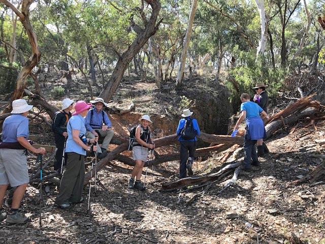
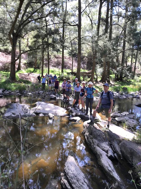
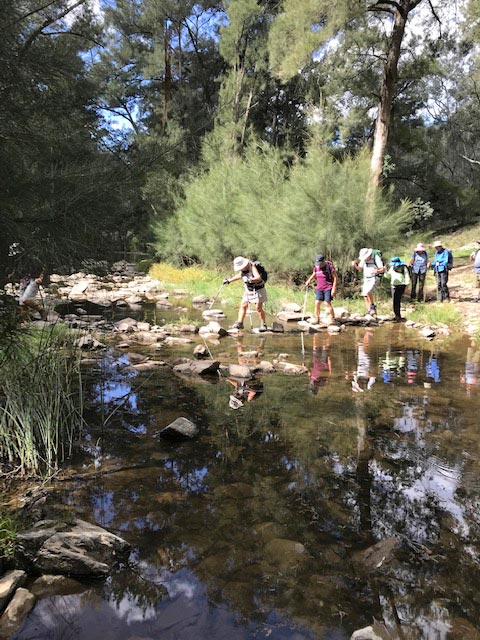
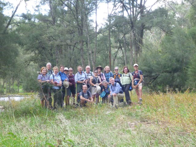
Participants:Adrienne Kinna, Carol Henderson, Joan Johnson, Dale Baker, Mary Ann Irvin, Jill Paillas, Jan Wilson, Douglas Irvin, Sarah Hurley, Julie Kelly, Warren Southey, Jennie Kelso, Katrina Gaitero, Helen Zammitt, David Cunningham, Sue Cunningham, Sarah Bodlay. Walk description:From the camping area in the Ophir Reserve we follow marked tracks with information signs scattered along the route. Many of the deserted diggings and tunnels can be seen and you will come to fully appreciate the hard life of the early gold diggers. There are 2 creek crossings. Map: Ophir Report:THE GOLDFIELDS OF OPHIR After a 45 minute drive from our cabins at Mt Canobolas we arrived at the picnic grounds beside Summer Hill Creek at Ophir. The air was clear and crisp but the sun promised a warm day ahead. There are 3 signposted walks in the reserve. We set off on the shorter route and, after a short wander along the side of the creek, we commenced walking up Eau De Cologne Gully where the water was once channelled down towards the creek. We passed the remains
of long abandoned trenches, tunnels and shafts with names such as Spencers
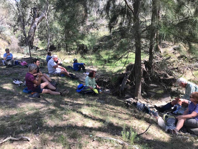
Cut, Belmore Mine, Bismarck Tunnel, Salvation Bob and the Jewellers Shop. At about 10:15 we arrived back at the picnic grounds for morning tea beside the creek. Refreshed and re-energised, we set off on a longer loop through the reserve. On this scenic section we passed the site of the old mining township, then headed uphill. The hills in this area are riddled with covered open cuts, tunnels and shafts, all once used to access quartz reefs. Much of the gold was embedded in an ancient riverbed that was covered with basalt lava flows from the nearby extinct volcano, Mt Canobolas. The old mines can be unstable so keeping to the track was a necessity. We walked along a short section of the 10km Slater’s Water Race, an impressive construction built along the side of a steep slope. A short time later, a creek crossing was successfully navigated and we continued on an undulating track through open eucalyptus forest. Along the way we stopped for lunch in the welcome shade of some trees before continuing on to a second creek crossing just before arriving back at the picnic grounds. The day was rounded off with a stop at a coffee shop on the outskirts of Orange. |
.jpg)
Top of page | Close this window to return to previous one
Design by Berger Bits & Bytes Services